
UPRIIS Climate-Smart Rice Project
Project Details
Introduction
The Climate-Smart Rice Project in the Upper Pampanga River Integrated Irrigation Systems (UPRIIS) spans a 145,800-hectare service area across the provinces of Nueva Ecija, Tarlac, Pampanga, and Bulacan in Central Luzon. Known as the rice granary of the Philippines, this region produces the highest rice output per hectare in the country and is home to tens of thousands of smallholder farming families.
Traditional continuous flooding of rice paddies creates anaerobic conditions that drive significant methane emissions. The Climate-Smart Rice Project in UPRIIS reduces emissions associated with rice cultivation through Alternate Wetting and Drying (AWD), a water management technique that involves periodically allowing paddies to dry before re-irrigating. The result is a meaningful reduction in methane emissions and water usage without sacrificing crop yields.
What sets this project apart is how its benefits are shared. Through a best-in-class Payment for Ecosystem Services (PES) program, carbon revenues flow directly to the smallholder farmers implementing AWD on the ground, thereby contributing to the economic growth of the community.
Our Role
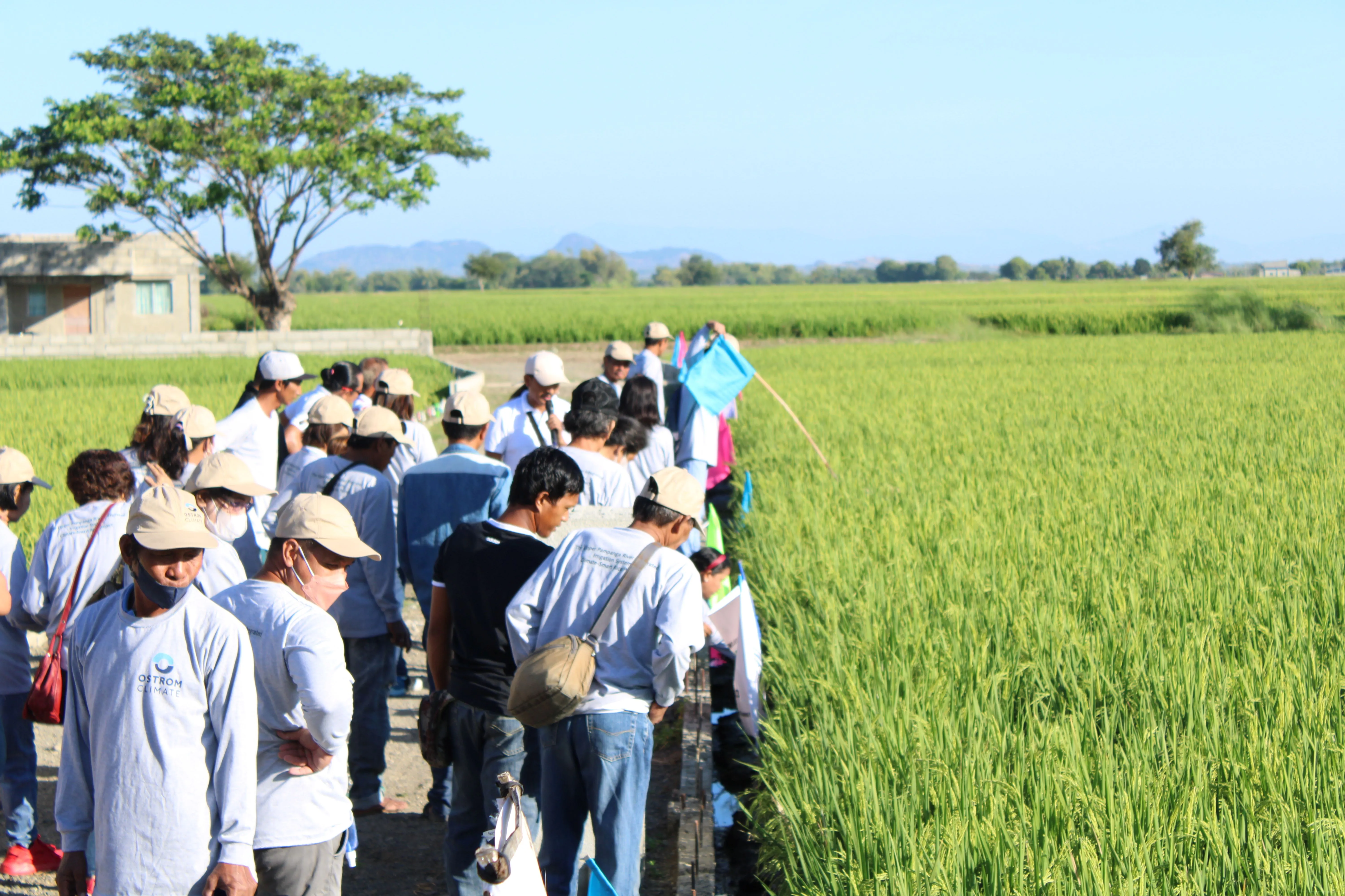
Ostrom Climate is the sole project proponent, acting as project developer and technical lead for the UPRIIS project. We work closely with the National Irrigation Administration (NIA), which provides water management expertise and infrastructure support to our Philippines teams. Ostrom Climate trains participating farmers through an extensive Farmer Field School program, equipping them with the knowledge and tools to participate in global carbon markets while adapting to a changing climate.
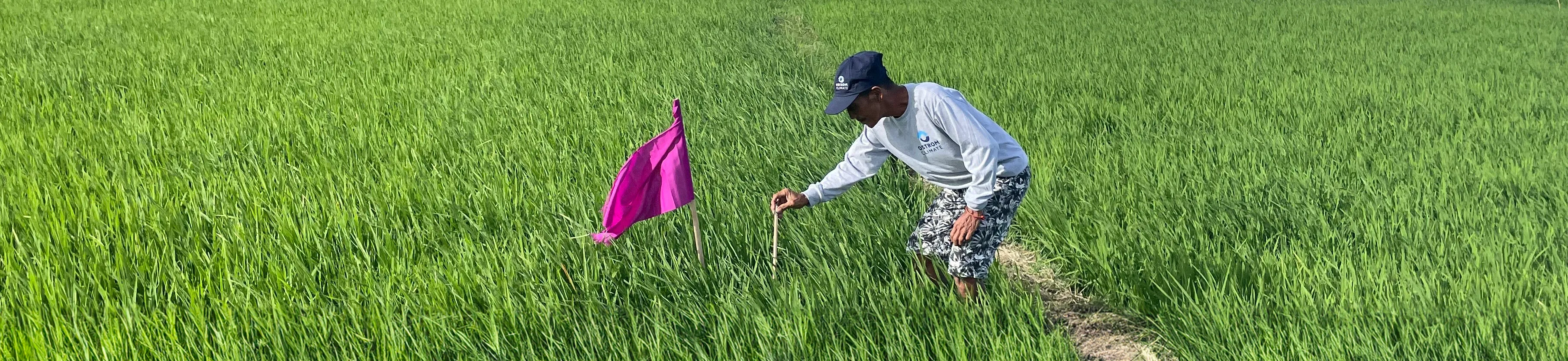
To support Verified Carbon Unit (VCU) issuance, we closely monitor AWD implementation and crop management practices across all project rice fields. We quantify greenhouse gas emissions from participating farmers through a combination of survey data on crop management practices, and field water level verification. All participating farmers are provided with observation wells to track field water levels, supporting GHG quantification and AWD verification.